Drones, unmanned vehicles and (no) fires, oh my!
The U.S. Natural Gas Right-of-Way Management Team has an ongoing, interesting maintenance project they are using to help improve safety, not just along our rights-of-way, but also in the communities where we live and work. In the West Region of the United States, similar to parts of Canada, there is an elevated fire risk due to high temperatures and drought-like conditions. To demonstrate how real this risk is to our assets, in 2020, a fire came within 100 feet of TC Energy property. That property had the potential to spread wildfires to adjacent properties due to too many trees providing a fuel load for the fire. With safety being our number one core value at TC Energy, this risk was noted as a real problem by the Operations, Technical and Operational Services (TOS) and Environment, Land, Indigenous and Regulatory (ELIR) teams.
At TC Energy, employees solve problems through innovation.
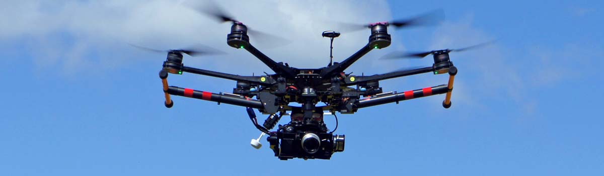
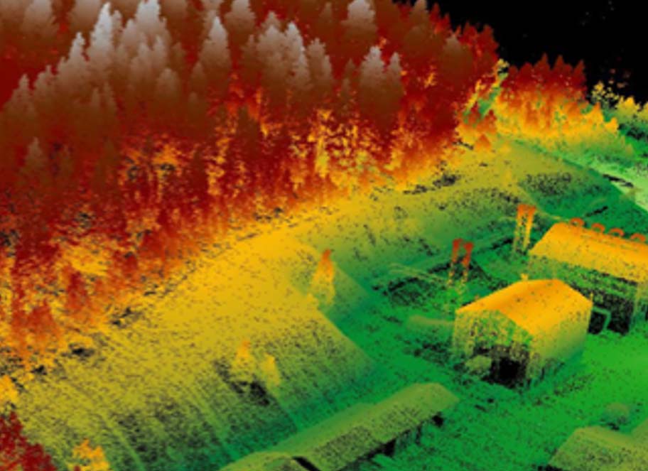
The team knew LiDAR had been used in the past to monitor leaks, determine geohazards and evaluate pipe class. They asked themselves if the same technology could be mobilized for fire risk analysis, specifically at Rosalia Compressor Station, a predetermined fire risk area, along the GTN system in Rosalia, Washington. LiDAR builds a 3D model of its surroundings by using millions of laser light pulses to measure distances and build a point cloud. The team first decided to use drones to fly above heavily forested areas to determine the size and number of trees. This enabled the development of a risk mitigation plan in collaboration with local agencies to implement forestry best management practices and reduce fire risks.
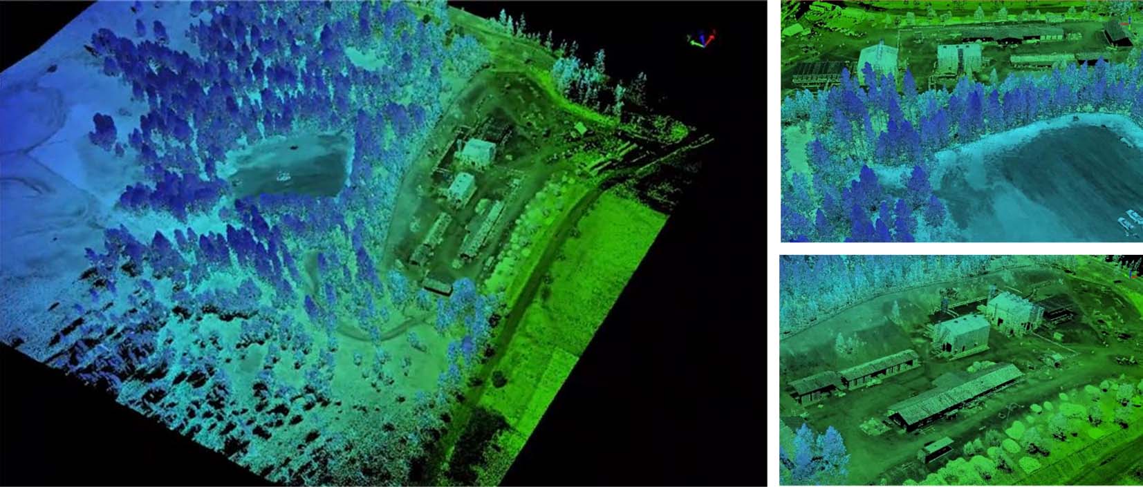
Millions of dots notate where the drone would have encountered leaves, trees or other brush.
By removing smaller timber, trimming branches and thinning large trees, among other procedures, fires can be prevented, or severely lessened, in high-risk areas. To get the best idea possible of the fire risks at hand, the team has recently started using a vehicle-mounted LiDAR system so that UTVs can drive down a ROW to create a 3D oversight. The UTV can cover many miles a day and uses less manpower than a drone, as a drone has a limited line-of-sight due to Federal Aviation Administration (FAA) regulations.
In addition to preventing fires, the LiDAR data also allows us to analyze factors, such as how much vegetation is encroaching on the ROW and if there are hazard trees, to build detailed estimates for reclamation, making this innovative approach a huge value add across the company.
For next steps, the ROW team has already begun clearing and will continue to do so into March ahead of the fire season next summer. Additional fire risk areas have been identified at Athol, Idaho, Sandpoint, Idaho and Eastport, Idaho, which will be the next focus areas. In the meantime, the team plans to take this practice to other states across the U.S. footprint.