
Results 1291 to 1300 of 4043 for “maps of pipeline”
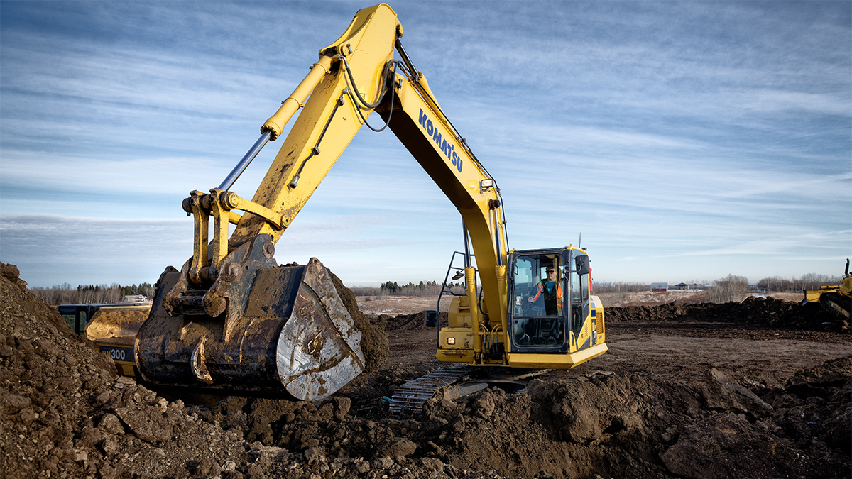
Learn about pipeline crossings, also called encroachments, and how they can impact pipeline safety. Whether it's temporary or permanent structures, heavy equipment, or forestry activities, discover the importance of obtaining written consent from pipeline operators and steps to prevent damage to pipelines. Stay informed to ensure the integrity and safe operation of pipeline right-of-ways.

Notice of Public Hearing for 2021 System Expansion Project dated for July 16, 2018.
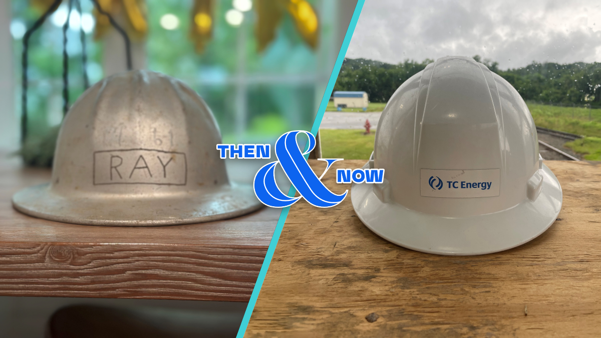
More than a century ago, in the Appalachian hills, a small gas company set out to change how energy was delivered across the United States.
tce-energy-2024-q1-results-presentation.pdf
tce-liquids-spinoff-fli.pdf
The map depicts where Columbia Gulf Transmission gathers gas in the Gulf of Mexico and brings it to Columbia Gas Transmission. It is one of the principal interstate pipelines running in the western segment of the Southwest-to-Northeast corridor for gas supply.
The map depicts the certified corridor for Coastal Gaslink pipeline from Dawson Creek to Kitimat, BC.