Results 41 to 50 of 1125 for “location map”
Learn more about Project details for Illinois, including schedule, map, technology, design, regulatory process, route selection, engagement, construction, benefits, environment and contact information.

ANCHORAGE, ALASKA--(Marketwired - Oct. 7, 2013) - ExxonMobil, BP, ConocoPhillips and TransCanada have selected a site in the Nikiski area on the Kenai Peninsula as the lead site for the proposed Alaska LNG project's natural gas liquefaction plant and terminal. More than 20 lo...

Learn more about our 2026 Annual Meeting of Shareholders.
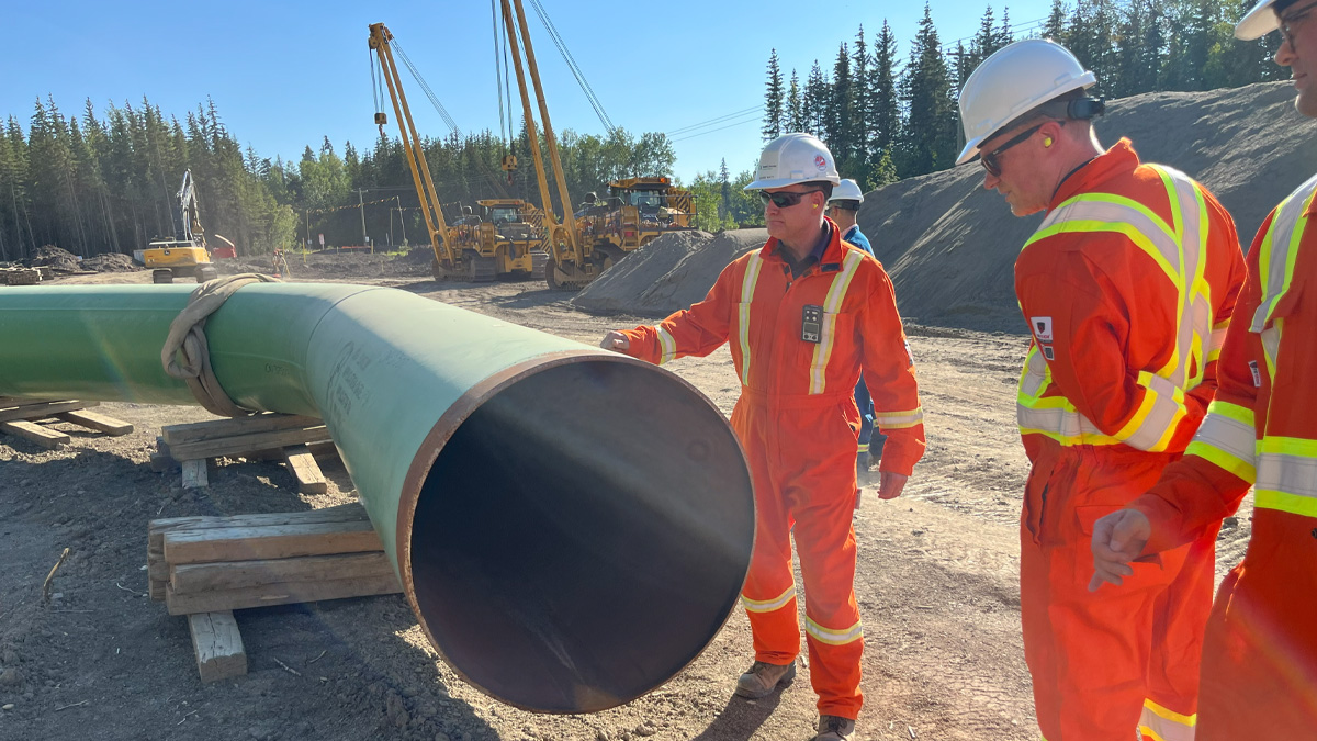
TC Energy has placed the Valhalla North and Berland River projects into service, marking another milestone in the company's continued investment in Alberta's natural gas infrastructure.
2024 Notice of Application Filed