
Results 1861 to 1870 of 4011 for “right of way maps”

The Canadian Mainline is 14,114 km (8,770 mile) in length and safely carries natural gas from the Western Canada Sedimentary Basin (WCSB) to Ontario and beyond. The map depicts the pipeline's northeastern section viewed in province of Ontario.
The Canadian Mainline is 14,114 km (8,770 mile) in length and safely carries natural gas from the Western Canada Sedimentary Basin (WCSB) to Ontario and beyond. The map depicts the pipeline's southeastern section in the province of Ontario.
A natural gas pipeline that will stretch 287 km (178 miles) from end to end, the Tula Pipeline Project will safely deliver fuel from Tuxpan, Veracruz, to communities in the states of Puebla and Hidalgo.
This document is a comprehensive report on a company's activities throughout the preceding year.
tce-agm-2025-pesentation.pdf
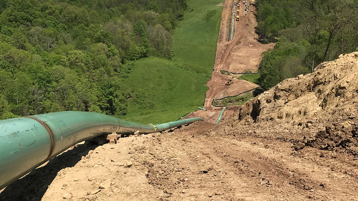
TransCanada Corporation announced its Leach XPress (LXP) project was placed in-service on January 1, 2018, and that the Federal Energy Regulatory Commission (FERC) has issued a certificate of public convenience and necessity for its Mountaineer XPress (MXP) and Gulf XPress (GXP) projects on December 29, 2017.

HOUSTON, TEXAS--(Marketwired - Jan. 19, 2017) - TransCanada Corporation (TSX:TRP)(NYSE:TRP) (TransCanada) announced today the Federal Energy Regulatory Commission (FERC) has issued an order approving the construction of the Leach XPress and Rayne XPress projects. The combined $1.8 bi...
The map depicts where the pipeline transports natural gas from Texas, Oklahoma, and Louisiana to cities and towns in Wisconsin, Michigan, Illinois and Ohio. The two major legs of ANR Pipeline converge near Chicago. ANR also provides access to TransCanada’s extensive natural gas storage operations in Michigan.