Results 1651 to 1660 of 4325 for “maps of pipeline in alberta”
In accordance with Certificate Condition 6 and Order Condition 7, NGTL encloses Commitment Tracking Table No. 5 for the Project. The reporting period for this submission is June 1, 2017 to June 29, 2017.
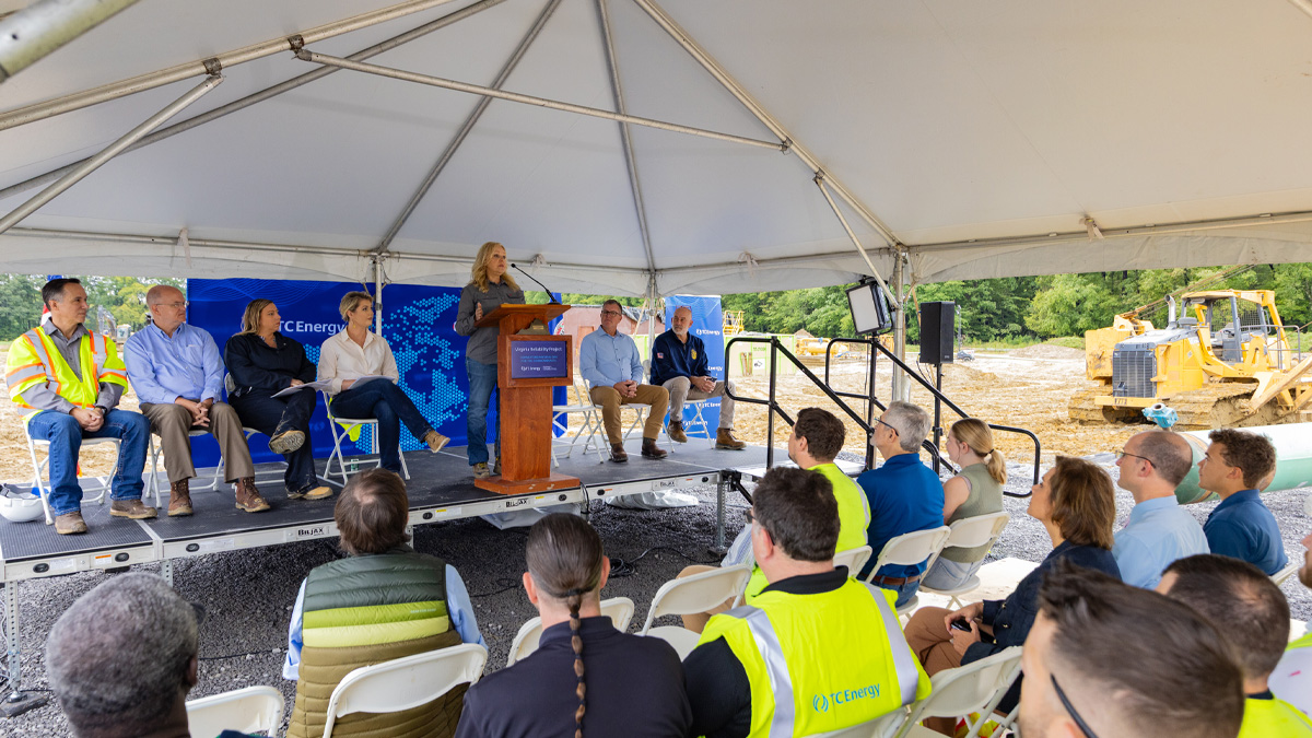
Pipeline investment supports economic growth, job creation, tax revenues and energy connected communities across the Commonwealth.
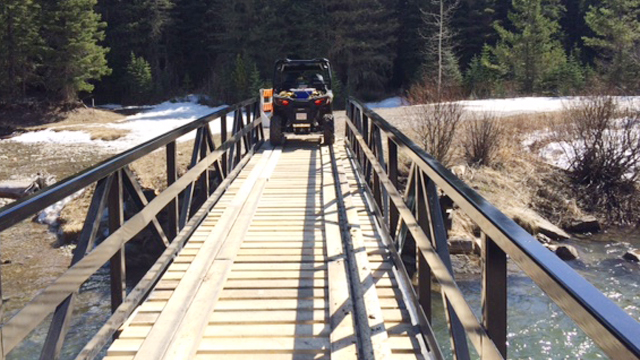
Sometimes small steps can springboard into leaps. Removing an old, forgotten and collapsed bridge in a small foothills stream and restoring habitat features could be just the little nudge needed to encourage the recovery of the threatened Westslope cutthroat trout population in Allison Creek in the Crowsnest Pass area of southern Alberta.
This document provides a comprehensive report on a company's activities throughout the preceding year.
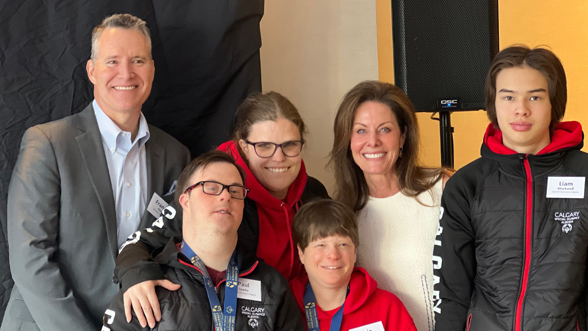
The Special Olympics Canada Winter Games Calgary 2024 have officially launched, and we couldn’t be more excited!
The Canadian Mainline is 14,114 km (8,770 mile) in length and safely carries natural gas from the Western Canada Sedimentary Basin (WCSB) to Ontario and beyond. The map depicts the pipeline's western section viewed from Saskatchewan to Manitoba.

We have shut down the Keystone Pipeline System and mobilized people and equipment in response to a confirmed release of oil into a creek in Washington County, Kan., approximately 20 miles (32 kilometres) south of Steele City, Neb.