Results 1531 to 1540 of 4325 for “maps of pipeline in alberta”
The Canadian Mainline is 14,114 km (8,770 mile) in length and safely carries natural gas from the Western Canada Sedimentary Basin (WCSB) to Ontario and beyond. The map depicts the pipeline's central section viewed from Manitoba to Ontario.
The Canadian Mainline pipeline is 4,114 km (8,770 mile) in length and has safely carried natural gas from the Western Canada Sedimentary Basin (WCSB) to Ontario and beyond throughout its history.

The Special Olympics Canada Winter Games Calgary 2024 have officially launched, and we couldn’t be more excited!
This document is a comprehensive report on a company's activities throughout the preceding year.
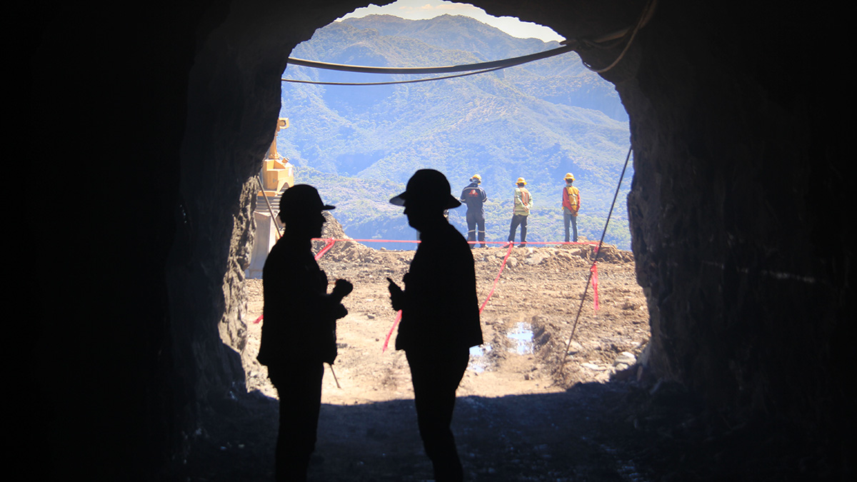
TransCanada Corporation announced its Topolobampo Pipeline project has been placed into service in northern Mexico, providing capacity for 670 million cubic feet of natural gas per day to markets in the states of Chihuahua and Sinaloa.
tc-2022-form-of-proxy.pdf
tc-2022-notice-of-meeting.pdf
This submission for the Commitment Tracking Table No. 6 is the reporting period from January 5, 2019 to April 5, 2019 for Sundree Crossover Project.

Explore the ways we work to protect and preserve natural habitat for wildlife in the regions we do business.