
Results 1471 to 1480 of 4111 for “maps of pipeline in alberta”

The Canadian Mainline is 14,114 km (8,770 mile) in length and safely carries natural gas from the Western Canada Sedimentary Basin (WCSB) to Ontario and beyond. The map depicts the pipeline's central section viewed from Manitoba to Ontario.
The Canadian Mainline pipeline is 4,114 km (8,770 mile) in length and has safely carried natural gas from the Western Canada Sedimentary Basin (WCSB) to Ontario and beyond throughout its history.
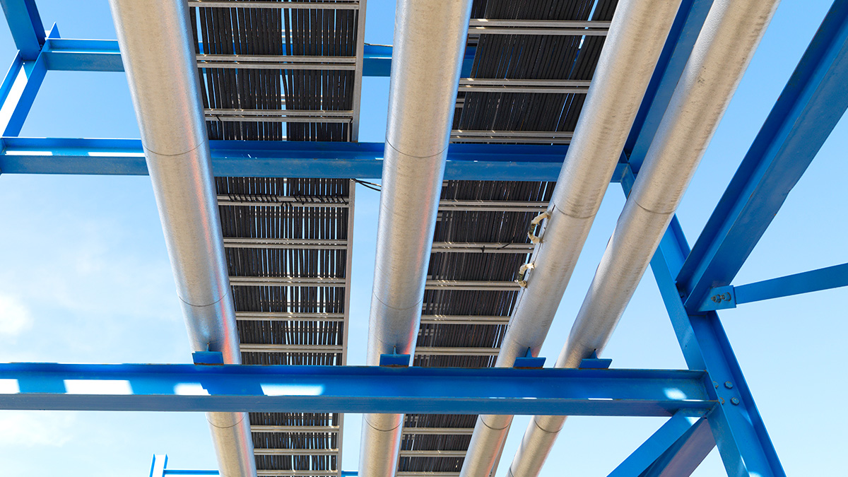
CALGARY, Alberta, Aug. 12, 2021 (GLOBE NEWSWIRE) -- Media Advisory – TC Energy Corporation (TSX, NYSE: TRP) (TC Energy) and privately held Irving Oil have signed a memorandum of understanding (MOU) to explore the joint development of a series of proposed energy projects focused on reducing greenhouse gas emissions and creating new economic opportunities in New Brunswick and Atlantic Canada. Together, the two energy companies have identified a series of potential projects for exploration focus...
CEO-Zero-is-real-Leadership-Awards-Booket.pdf
GLC — Abandonment Reporting Form — 2022
tc-Marketlink-FERC-No-2.51.0-Rate-Schedule.pdf
TC Energy has completed and owns and operates four separate projects as part of the West Path Delivery Program, located within Alberta and British Columbia.