Results 841 to 850 of 4324 for “maps of pipeline in alberta”
Connecting to virtually every major pipeline in the U.S. Gulf Coast and additional Midwestern lines, TC Energy’s Columbia Gulf Transmission System (CGT) ensures energy reaches where it’s needed most, adapting to evolving energy demands and shifting environmental priorities.
tce-FERC-2.64.0-Marketlink-Rate-Schedule.pdf
Commitment Tracking Table No. 8

TC Energy’s commitment to managing pipeline assets safely and responsibly throughout the lifecycle includes eventual decommissioning or abandonment when pipelines and facilities are no longer necessary for service.

Safety and operational excellence drive seven delivery records across North America Approves US$1.5 billion Columbia Gas expansion project, extending reach into high-demand market. — TC Energy Corporation released its first quarter results today. François Poirier, TC Energy’s President and Chief Executive Officer commented, "We entered 2026 with strong momentum. Our best safety performance in six years drove..."
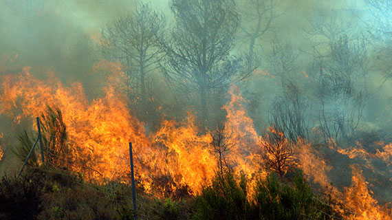
Our thoughts are with more than 45,000 people who have been evacuated from their homes due to hundreds of active wildfires burning in British Columbia, which have already burned more than 200,000 hectares (2,000 square km or 772 square miles).
Commitment Tracking Table No. 7