
Showing results 741 to 750 of 3815 for “the government of the united states of america”
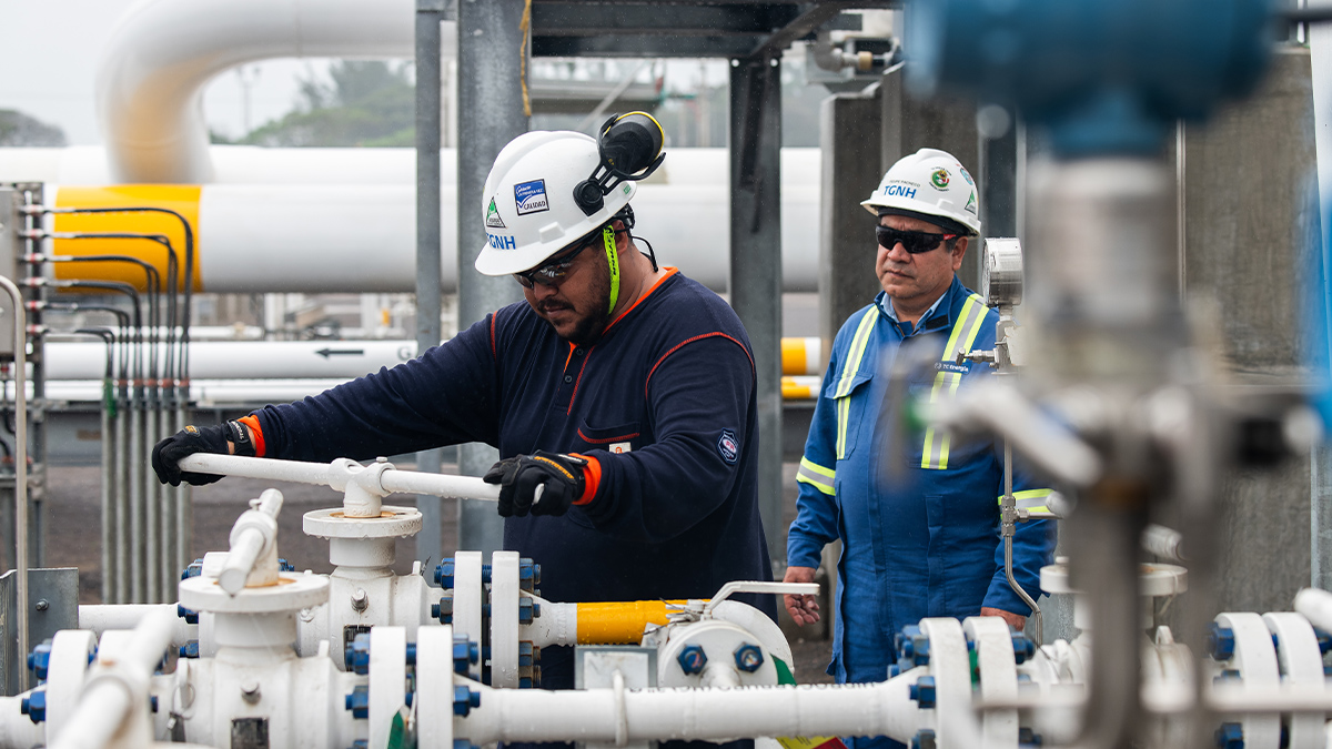
Final project cost is approximately US$3.9 billion, 13 per cent under original cost estimate Supplies affordable, reliable and sustainable natural gas to fuel Mexico’s economic growth CALGARY, Alberta, June 27, 2025 (GLOBE NEWSWIRE) — News Release — TC Energy Corporation (TSX, NYSE: TRP) (TC Energy or the Company) today announced that it has commenced the collection of tolls from the Comisión Federal de Electricidad (CFE) for the Southeast Gateway pipeline and has been paid by the CFE for the month...
NGTL GP is proposing to permanently cease operations at 14 lateral pipelines or loops on the NGTL System within Alberta as these facilities are no longer necessary to provide service to customers.

tce-FERC-3.29.0-Marketlink-Rate-Schedule.pdf
tce-FERC-6.100.0-TransCanada-Keystone-Rate-Schedule.pdf
In accordance with Certificate Condition 21 and Condition 5 of the Order, NGTL encloses the Commitment Tracking Table for the Project. As required, NGTL is posting the North Montney Project commitment tracker to its external webpage. The reporting period for this second submission is May 15, 2015 to July 15, 2015.
In accordance with Certificate Condition 21 and Condition 5 of the Order, NGTL encloses the Commitment Tracking Table for the Project. As required, NGTL is posting the North Montney Project commitment tracker to its external webpage. The reporting period for this third submission is May 15, 2015 to August 21, 2015.
CEO-Zero-is-real-Leadership-Awards-Booket.pdf