Results 51 to 60 of 1096 for “location map”
Project Details, Schedule, Map, Technology, Design, Emissions Reduction Alberta, Regulatory Process, Site Selection, Engagement, Construction, Benefits, Environment and Contact Information
The map depicts pipeline locations for Columbia Gas Transmission in northeastern United States.
Bison Pipeline stretches 302 miles (486 km) across Wyoming and Montana to Midwestern North Dakota where it connects with another interstate natural gas pipeline.
The Millennium Pipeline is a gas transmission line that cuts across the Southern Tier of New York State and transports gas to New York City and its metropolitan area. The Pipeline has a capacity up to 525,400 Dth/d.
Stretching 305 miles (491 km) from Oregon across California and into Nevada, the Tuscarora pipeline delivers natural gas from the Western Canada Sedimentary Supply, the Rocky Mountains and US basins to communities in California and Nevada.

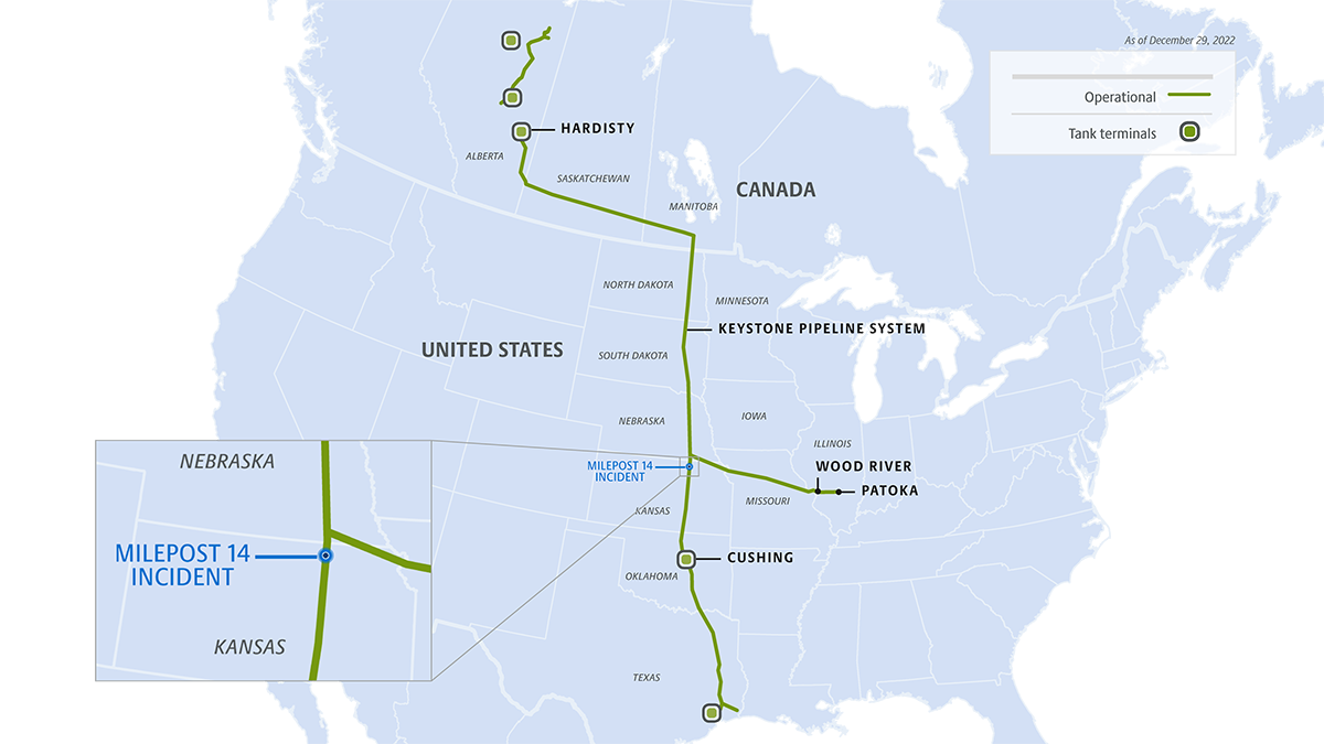
This week, TC Energy completed in-creek recovery of the released volume and continues progressing restoration activities.
The map depicts where the pipeline transports natural gas from Texas, Oklahoma, and Louisiana to cities and towns in Wisconsin, Michigan, Illinois and Ohio. The two major legs of ANR Pipeline converge near Chicago. ANR also provides access to TransCanada’s extensive natural gas storage operations in Michigan.

Take a closer look at maps of our North American oil & liquids operations.