Results 231 to 240 of 4321 for “maps of pipeline in alberta”
tce-CER-No.-69-Keystone-IJT-Rates-Schedule.pdf
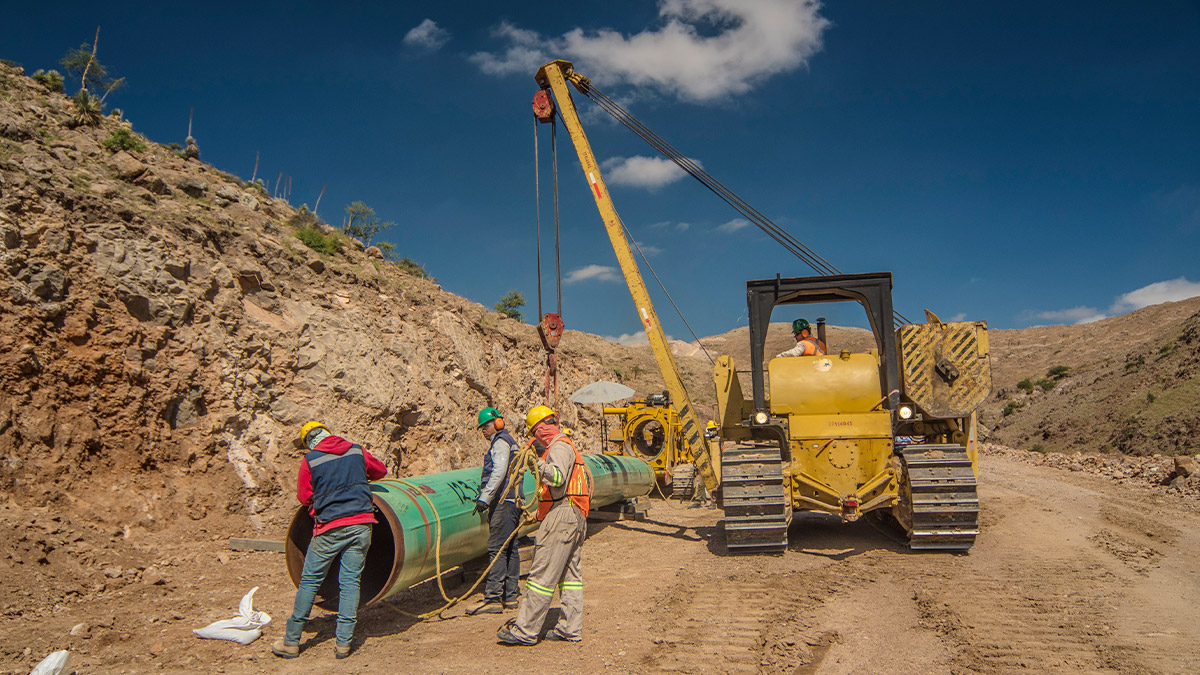
The Tula - Villa de Reyes (TVDR) Project stretches over 420 km in the heartland of Mexico, including mountain ranges and several river crossings, which have put to test not only the technical skills, but also the safety procedures of both TC Energía and our contractors. Despite some challenges, TC Energía’s team has achieved over 1.6 million hours without recording a lost-time incident. Learn how it was done.
The 4,324-kilometre (2,687-mile) Keystone Pipeline System plays a key role in connecting Alberta crude oil supplies to U.S. refining markets in Illinois, Oklahoma and Texas, as well as connecting U.S. crude oil supplies from the Cushing, Okla., hub to refining markets in the U.S. Gulf Coast through our Marketlink Pipeline System.
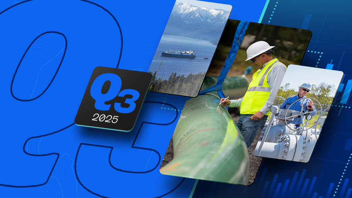
Extending outlook to 2028, reinforced by clear investment visibility through end of decade $0.7 billion of new growth projects sanctioned in third quarter, totalling over $5 billion of low-risk, accretive growth projects announced over past 12 months CALGARY, Alberta, Nov. 06, 2025 (GLOBE NEWSWIRE) — TC Energy Corporation (TSX, NYSE: TRP) (TC Energy or the Company) released its third quarter results today alongside an updated three-year financial outlook and 2026 strategic priorities. François Poirier,...