Results 141 to 150 of 1125 for “location map”
MacKay River is an industrial cogeneration project that is situated on Suncor’s MacKay River oilsands development, 60 km (37 miles) northwest of Fort McMurray, Alta.
Bear Creek is an industrial cogeneration plant situated on International Paper Grande Prairie pulp mill and Weyerhaeuser saw mill complex. The power plant is configured around a 58 MW natural gas fired turbine.
tce-pa_can-affectedpublic_5.75_en_2025_v4.pdf

Learn more about our 2024 Annual and Special Meeting of Shareholders.
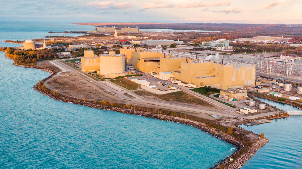
We’re hosting a focused session for investors and analysts on what matters most: Bruce Power’s execution engine, low risk framework, and long run growth optionality — and what that means for TC Energy’s valuation.
The map depicts all of TC Energy's assets throughout North America.