Results 1341 to 1350 of 4009 for “right of way maps”
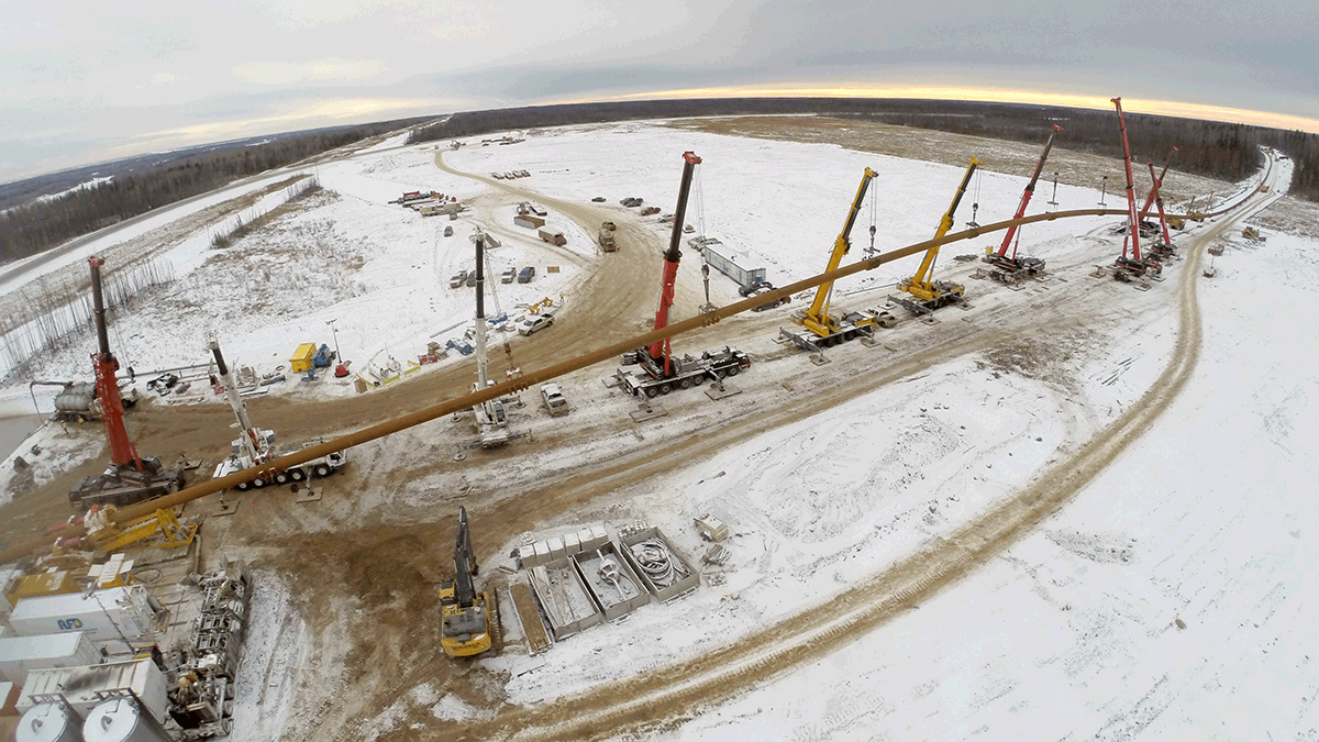
Pushing boundaries to protect water
The horizontal directional drilling (HDD) the Northern Courier Project completed under the Athabasca River in Alberta, Canada, turned out to be the longest 42-inch-wide HDD completed in North America to date at 2,195 metres (7,200 feet), in order to install the pipeline 70 metres below the riverbed.