Results 91 to 100 of 4065 for “map of ohio”

CALGARY, Alberta, May 07, 2026 (GLOBE NEWSWIRE) -- TC Energy Corporation (TSX, NYSE: TRP) (TC Energy or the Company) today announced that at its 2026 annual meeting of shareholders held earlier today, each of the following 13 nominees were elected as directors of TC Energy on a vote by ballot to serve until the next annual meeting of shareholders of TC Energy, or until their successors are elected or earlier appointed: Nominee # Votes For % Votes For # Votes Against % Votes Against Scott Bonham 674,143,748...
tce-2024-asm-rules-of-conduct.pdf
The purpose of this Policy is to ensure that Personnel pursue and develop long-term mutually beneficial relationships with Indigenous Groups in support of the Company's business and corporate social responsibility objectives.
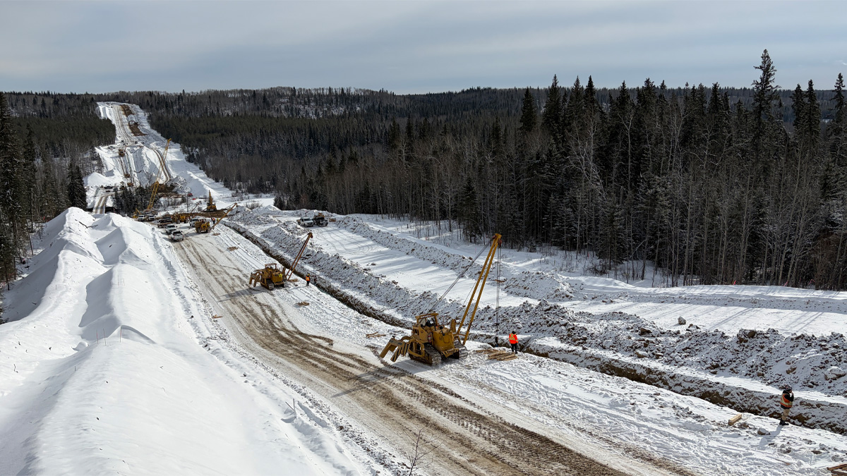
Critical infrastructure investments completed with over $18 million in local subcontracts to connect Alberta’s economy to the energy it needs.
The map depicts the location the Redwater Cogenerating Station which is north of Alberta's provincial capital, Edmonton Alberta.

Final project cost is approximately US$3.9 billion, 13 per cent under original cost estimate Supplies affordable, reliable and sustainable natural gas to fuel Mexico’s economic growth CALGARY, Alberta, June 27, 2025 (GLOBE NEWSWIRE) — News Release — TC Energy Corporation (TSX, NYSE: TRP) (TC Energy or the Company) today announced that it has commenced the collection of tolls from the Comisión Federal de Electricidad (CFE) for the Southeast Gateway pipeline and has been paid by the CFE for the month...